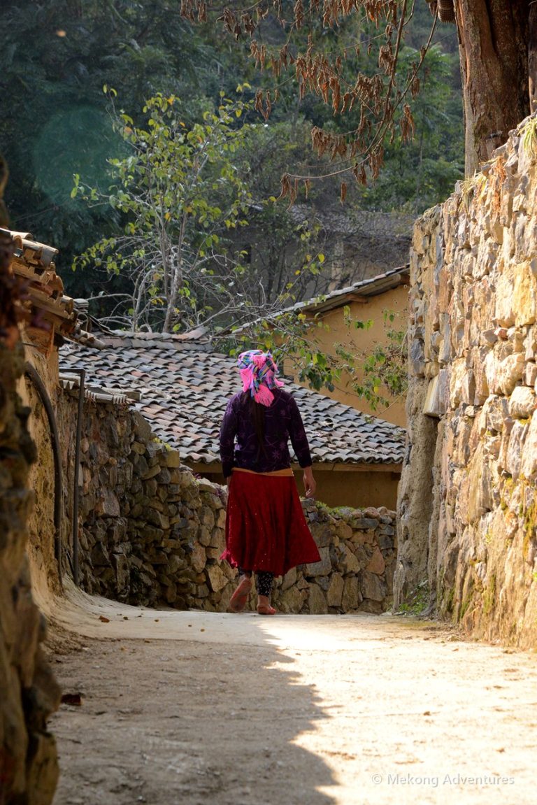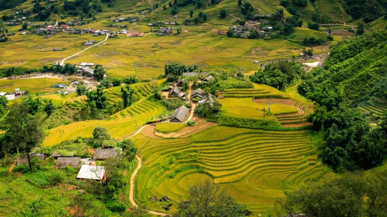
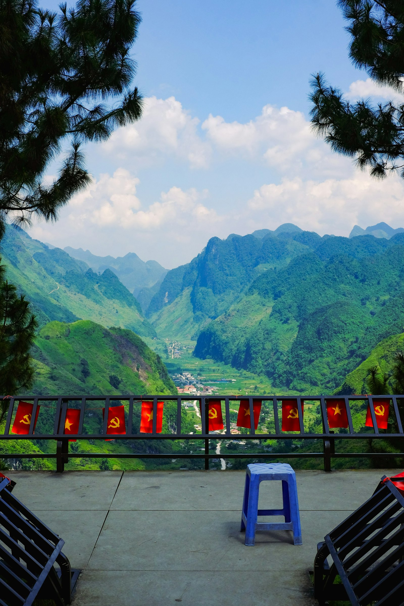
The Ha Giang Loop is the most spectacular road trip in Vietnam. Starting from Ha Giang city in the far north, it winds for around 350 kilometres through the Dong Van Karst Plateau, a UNESCO Global Geopark of grey limestone peaks, deep river gorges and terraced valleys along the Chinese border. Along the way you pass hill tribe villages, colourful markets and some of the most dramatic mountain passes in Asia.
This guide explains the route, how many days you need, the best time to go, how to travel the loop safely and what to expect in terms of roads, food and accommodation. It is based on many seasons of guiding travellers through Ha Giang.
Where is Ha Giang?
Ha Giang is the northernmost province of Vietnam, about 300 kilometres north of Hanoi. The drive from the capital to Ha Giang city takes six to seven hours by car or limousine bus, mostly on good roads through tea hills and river valleys. The loop itself begins just north of the city and climbs quickly onto the plateau.
The classic route
The loop usually runs anticlockwise and passes these highlights:
- Quan Ba Heaven Gate: a pass with views over the twin rounded hills known as the fairy mountains.
- Yen Minh: a small town in a green valley, often the first overnight stop.
- Tham Ma Pass: a series of tight hairpin bends, one of the most photographed roads in the north.
- Sa Phin: the Vuong family palace, built for the Hmong King in the early 20th century.
- Lung Cu flag tower: close to the northernmost point of Vietnam, with views into China.
- Dong Van: a small market town with a historic old quarter.
- Ma Pi Leng Pass: a road cut into the cliffs high above the turquoise Nho Que River.
- Meo Vac: a town ringed by limestone mountains, then back south through Mau Due and Yen Minh.
Some routes add a detour to Du Gia, a peaceful valley of rice fields and Tay villages, or a boat trip through the canyon of the Nho Que River below Ma Pi Leng.
How many days do you need?
- 3 days: the minimum to see the main highlights, with long days on the road. Good if time is short.
- 4 days: the most popular choice, with time for the Nho Que boat and a night in Du Gia.
- 5 to 7 days: slower travel with walks between villages, markets and nights in homestays, or an extension to Ba Be Lake.
Remember to add travel time from Hanoi: most trips leave Hanoi early on the first day and return late on the last.
Best time to ride the loop
Ha Giang can be visited all year, but each season is different. September to November is the favourite, with clear skies, golden rice in the lower valleys and pink and white buckwheat flowers on the plateau in October and November. March to May brings spring blossoms and mild weather. Summer is green but rainy, with occasional landslides, and December to February is cold, often around freezing at night, with fog on the passes.
How to travel the loop
Self-drive motorbike
Many backpackers rent a motorbike and ride themselves. The roads are steep, narrow and full of blind corners, trucks and livestock, and accidents are common. You also need a valid licence for insurance to apply. We only recommend this for experienced riders.
With an easy rider
The most popular option: you ride pillion behind an experienced local driver, so you can enjoy the views without worrying about the road. No licence or riding experience is needed. See our Ha Giang Loop with easy riders.
By private car
The most comfortable way, especially for families, older travellers or in cold and rainy weather. You still stop at every viewpoint and village, just with a roof over your head. See our Ha Giang Loop by private car.
On foot
For walkers, some of the best experiences are between the roads: village trails, markets and homestays. Our Dong Van plateau trek combines driving with daily walks.
Our tip
Ride or drive Ma Pi Leng in the early morning. The light is softer, the road is quieter and the valley is often filled with mist that slowly clears to reveal the river below.
Accommodation and food
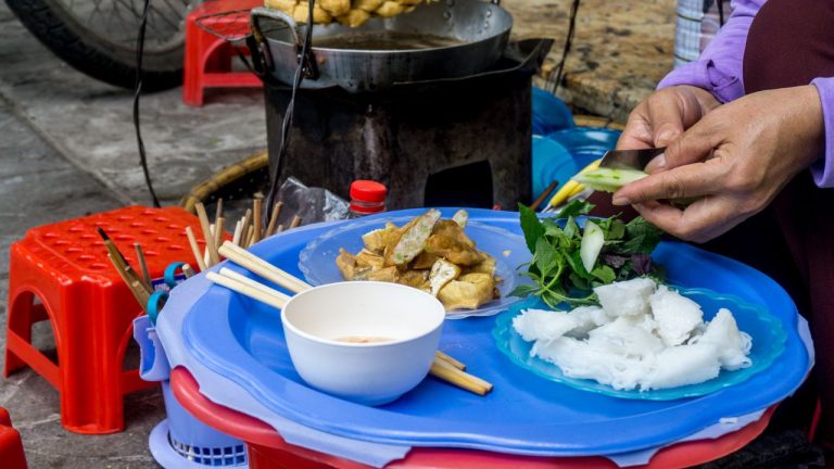
Along the loop you stay in small hotels, family homestays and a few characterful lodges, some in restored Hmong houses. Homestays are simple, with shared bathrooms and mattresses under mosquito nets, and dinners are hearty: rice, pork, chicken, tofu, mountain vegetables and often a glass of corn wine. In winter, rooms are not heated, so bring warm clothes.
Markets on the plateau
Weekly markets are a highlight. Dong Van and Meo Vac hold big markets on Sunday mornings, when people walk down from the villages to trade buffalo, vegetables, textiles and tools and to share bowls of thang co soup. Smaller markets take place on other days in different villages, so plan your route around them.
Permits and practical tips
- Foreign visitors need a permit for the border area; it is usually arranged by your tour operator or guesthouse.
- Bring cash: ATMs exist in Ha Giang city, Yen Minh, Dong Van and Meo Vac, but not in villages.
- Mobile coverage is good on most of the loop, but patchy in remote valleys.
- Pack warm layers, a rain jacket and sun cream for every season.
- Drones need special permission in border areas.
Frequently Asked Questions
How long is the Ha Giang Loop?
Around 350 kilometres from Ha Giang city and back, plus about 300 kilometres each way between Hanoi and Ha Giang.
Is the Ha Giang Loop dangerous?
The roads are steep and winding, and accidents happen, especially to inexperienced riders. Travelling with an easy rider or by private car is much safer.
What is the best month for the Ha Giang Loop?
October and November are the most popular, with clear weather and buckwheat flowers. Spring is also beautiful.
Do I need a permit for Ha Giang?
Yes, foreign visitors need a border area permit. It is easy to obtain and is usually arranged for you.
Plan Your Trip With Us
Choose how you want to see Ha Giang: by private car, with easy riders, or on foot between villages.